
Hoorn in Noord-Holland
Basic info on Hoorn: Hoorn is a Dutch city in the province Noord-Holland and also the most important city in the West-Friesland region. Hoorn is situated on the Hornse Hoop which is a small bay in the Markermeer.
The town covers an area of roughly 52.5 square km, most of it is pure water and that amounts to about 32.6 square km.
Travelling to Hoorn is possible by air, by rail, by bus, by driving on the road and also by ship.
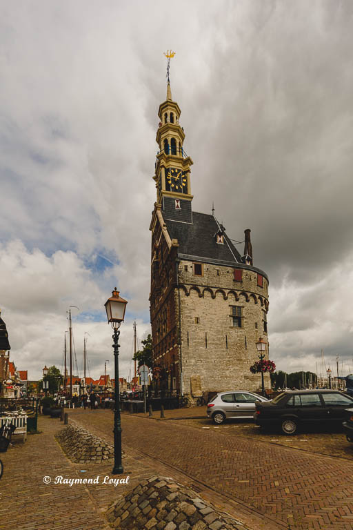
The city was originally founded in 716 but it became an important place for shipping, especially as aa base for the Dutch East India Company, because their fleet sailed on the seven seas, in the 16th and 17th century. At that age and until 1932 was a sea port. That stopped with the completion of the Great Closing Dyke in 1932.
Hi folks, we went to Hoorn on an Saturday because we had nothing better to do. Actually we had only had a glimpse at the travel guide on where we wanted to go. Then, of course, we forgot the damn thing at home and, what else one can do: Just go out and explore.
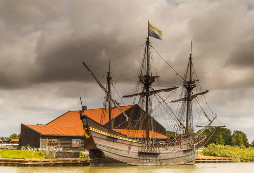
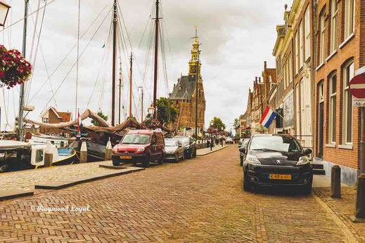
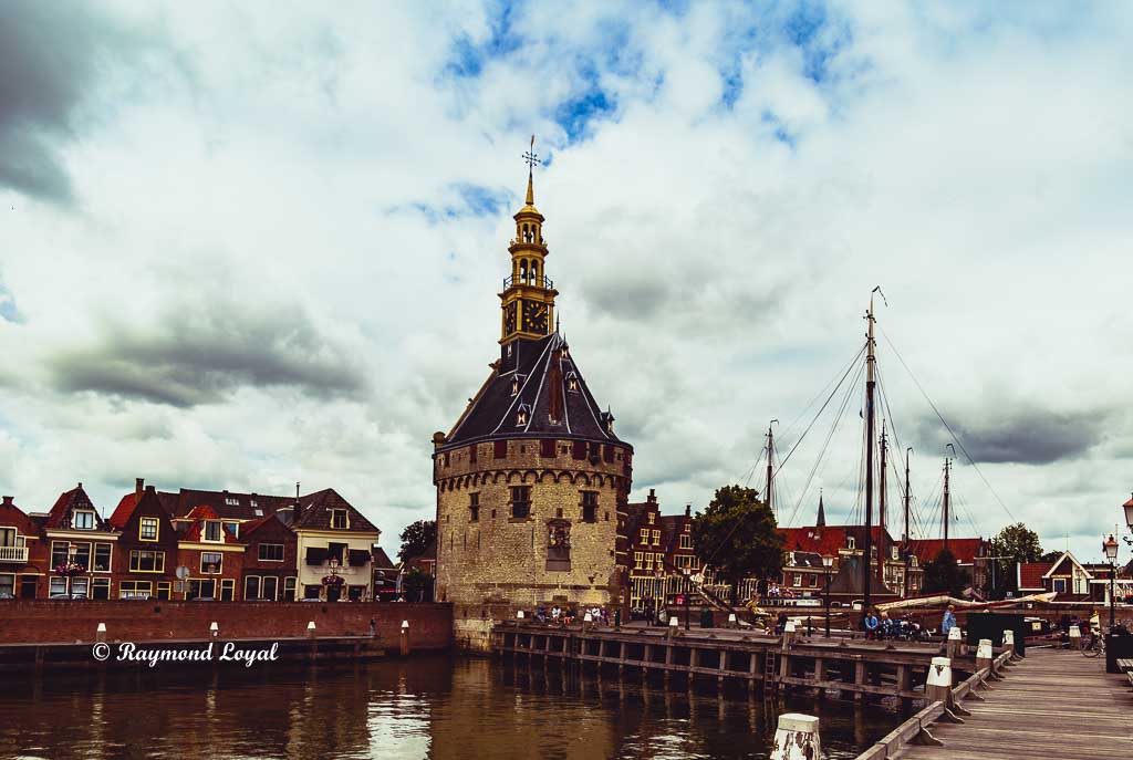
We did not even know that Hoorn has a historic sailing vessel on display, until we ran across the thing.
Was good for a few shot using nd filters. The weather was uite alright, a bit cloudy, a light brise and not too warm. Best travel weather one can expect.
What can I say, the place is great, awesome sounds more modern. It's simply nice. They do have some marinas, most of them are part of the old port. We only visited the historic part of the city and a few hours were not quite enough.
When you do not have a travel guide at hand then you look even more closely at what is on offer then otherwise. Look for yourself.
Hoorn Map Location and Route Planner
Hoorn looks out to the Ijssel Meer. It is more of a lake, since the dam between Den Oever and Kornwerderzand was closed. The dam is called the Afsluitdijk, is 32 km long and was finished in 1932. The dam is accessible by car, on foot and on bicycle. Google maps or Google Earth are available below.
Map location of the Afsluitdijk


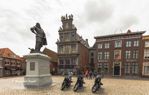
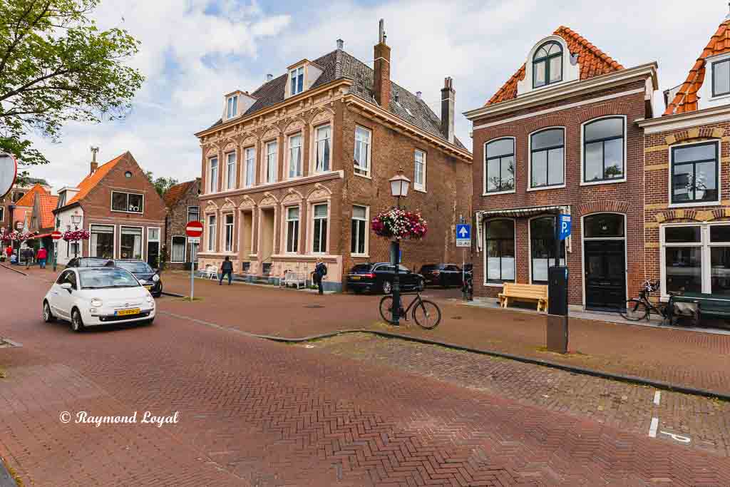
On the left you can see the main place at the city centre, in the background there is the museum, which was closed when we where there. The market place is partly surrounded by bistros, brasseries or let's say: pubs. And the pubs are full with people.
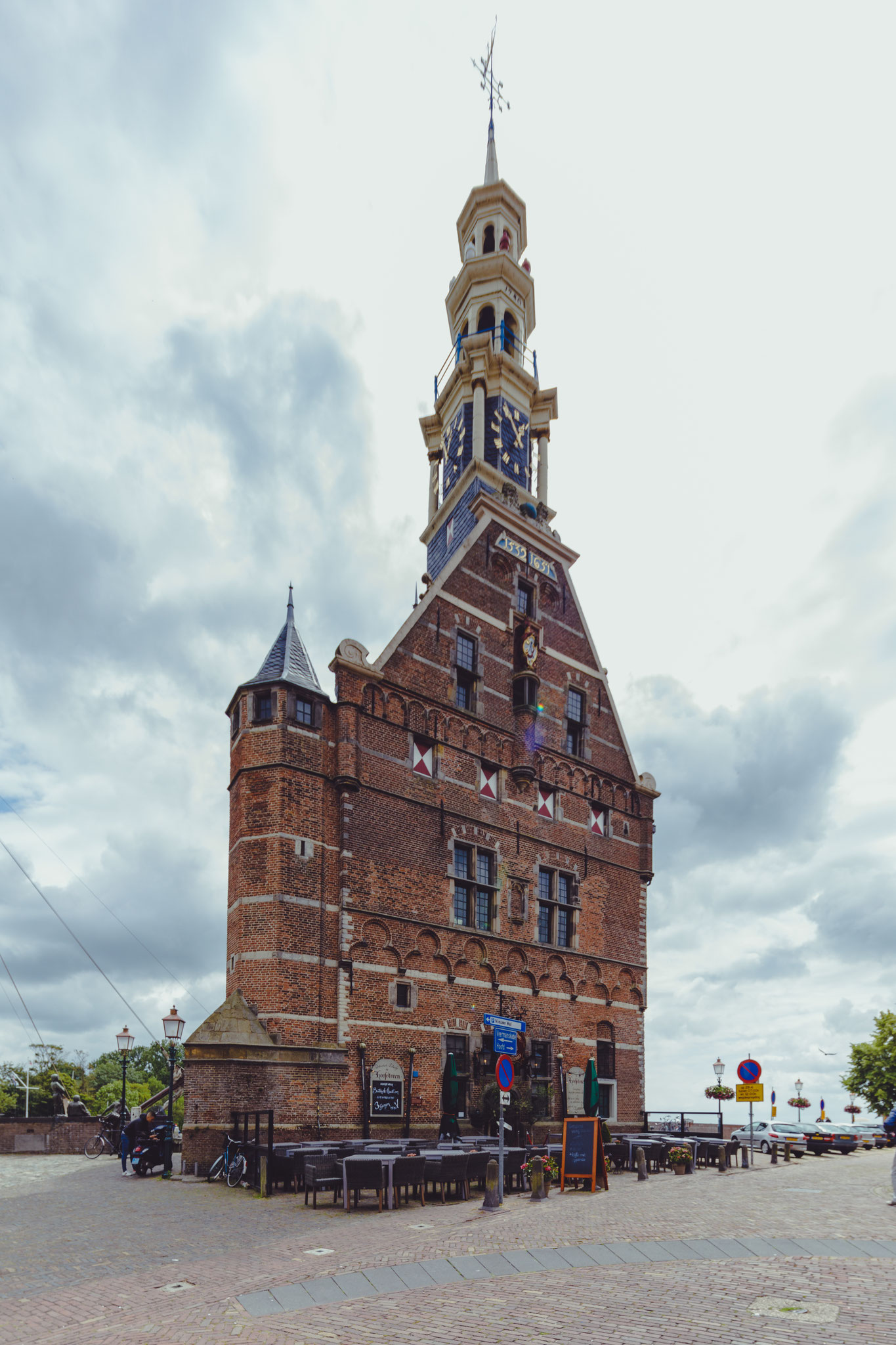
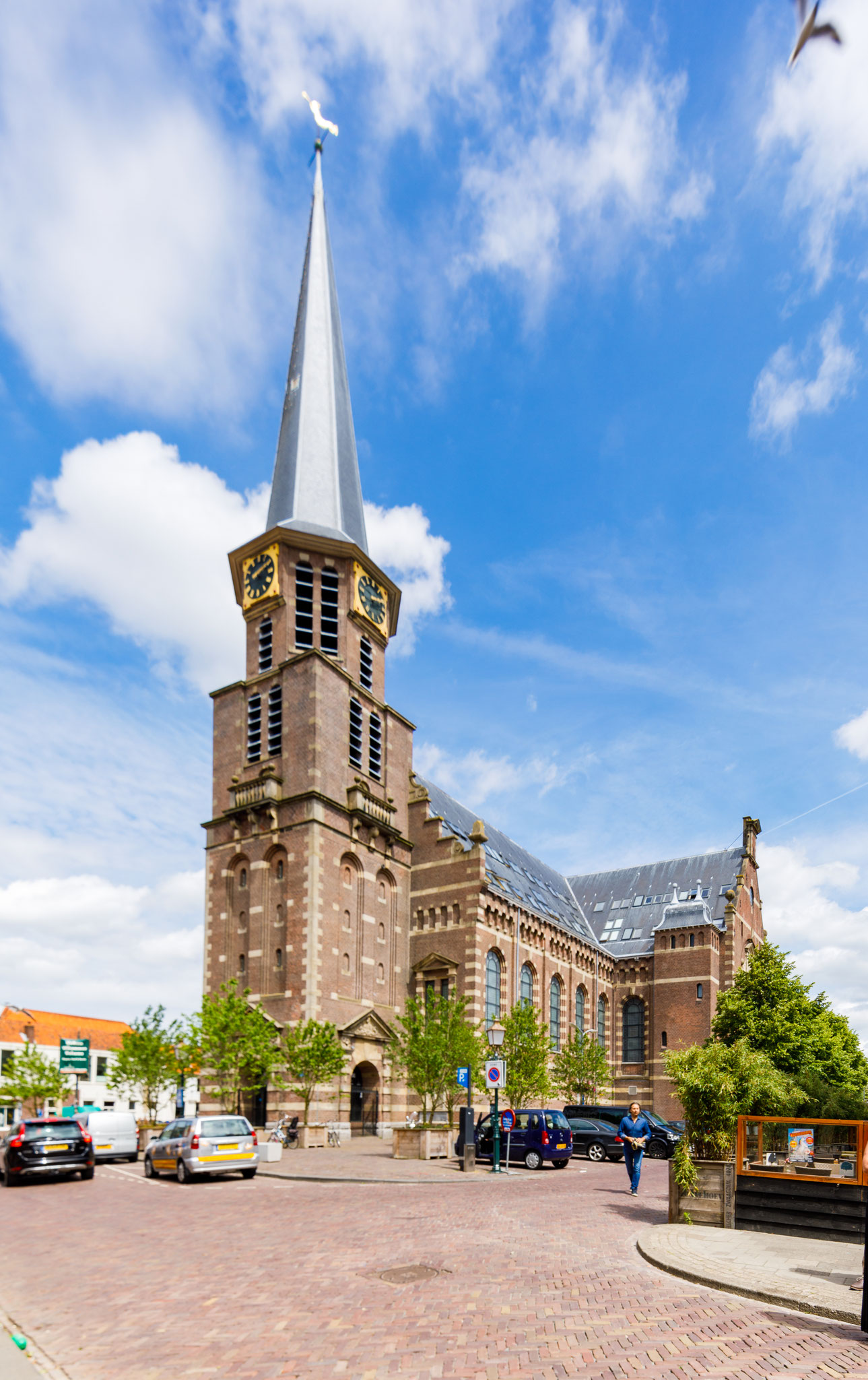
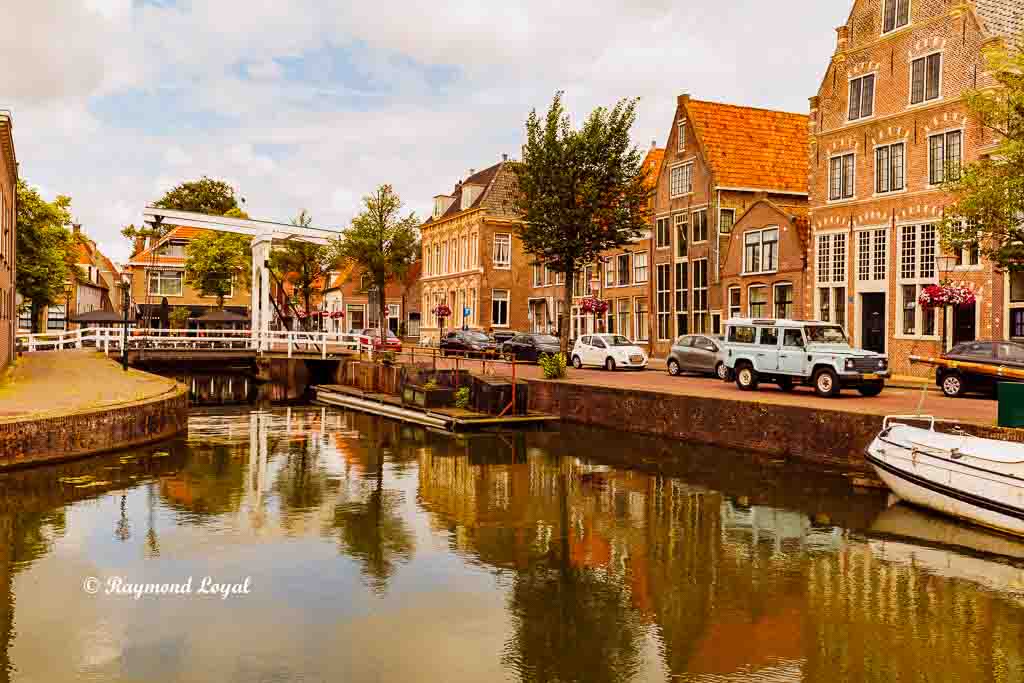
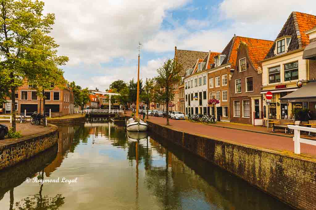
Below there are some more images of the historic city centre with the canals and the old houses. Enjoy.
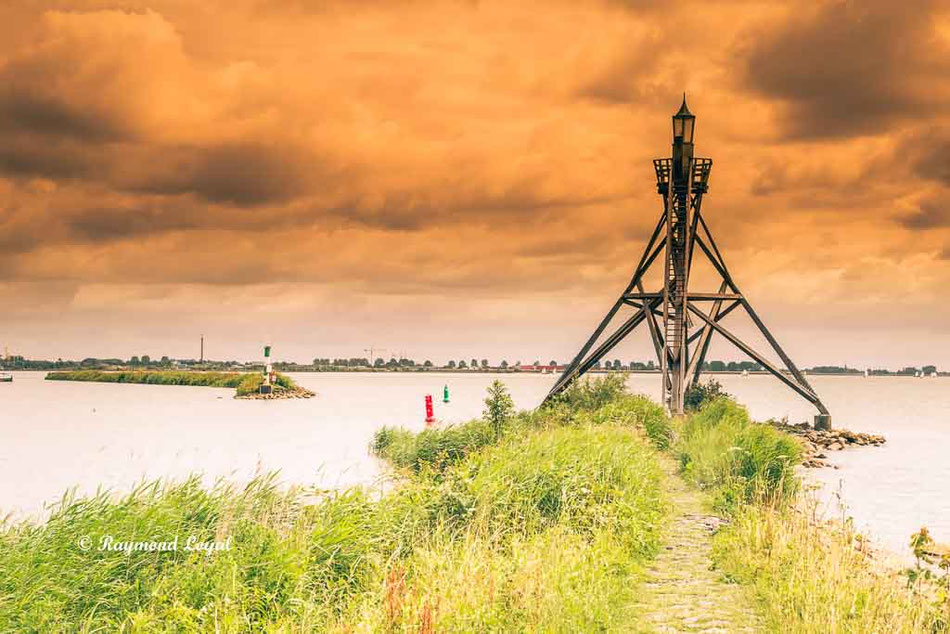
And finally a last shot showing the entrance to the historic port.
Kommentar schreiben